Percorso Storico - Da Agrisalus alla Busa dei Capitani
22 Località Fibbie Arco
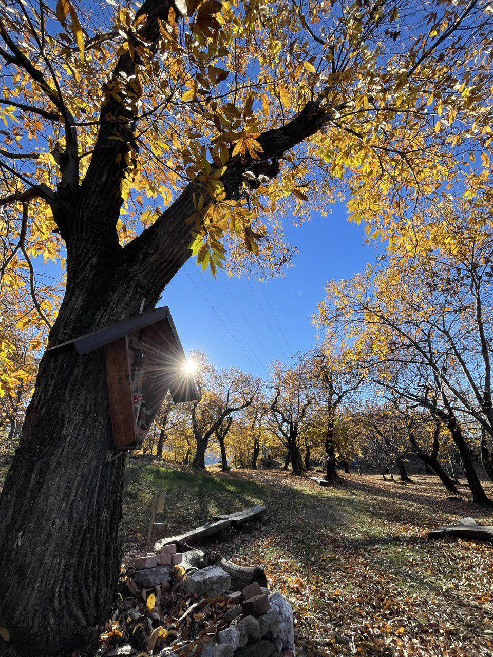
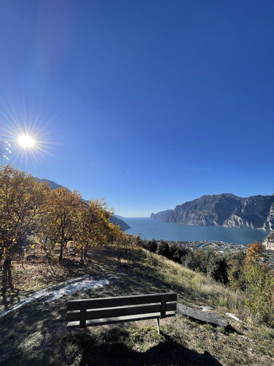
Un percorso escursionistico e storico che risale le pendici del monte Corno offrendo scorci unici e magnifici belvedere verso tre direzioni: il lago di Garda, Arco con la piana della Sarca ed il lago di Loppio. Il percorso inizia da Pratosaiano, un piccolo paese situato nel comune di Arco. Si segue il sentiero che sale in direzione della Vecchia Maza, arrivati all'abitato di Nago si prende il sentiero che sale verso il Castagneto di Nago ed il Monte Corno.
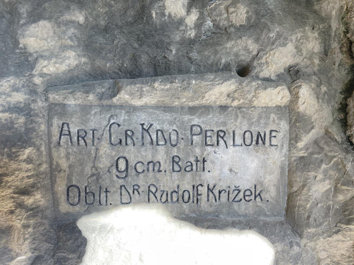
L'altura situata a nord dell'abitato di Nago conserva numerose testimonianze legate alla prima guerra mondiale che permettono di identificarla come un vero e proprio "colle fortificato", articolato tra trincee, punti d'avistamento e altre postazioni campali, poste a controllo delle pendici del monte Altissimo. Inoltre, la posizione era perfetta per serrare il passaggio di eventuali truppe nemiche provenienti da Loppio o Torbole che, per aggirare la difesa di Riva, avrebbero potuto salire sul monte Corno e raggiungere direttamente Arco.
Le postazioni facevano parte del sistema fortificato campale costruito a supporto della difesa del territorio tra Riva del Garda e Loppio.
A partire dal 2010, grazie al lavoro e al costante impegno dei volontari della Compagnia Schützen
"Albrecht von Habsburg" di Arco, con la quale hanno collaborato Ass. Castagneto di Nago e Gruppo Alpini di Nago-Torbole, le strutture e le postazioni della zona del monte Corno/Perlone, dove prestarono la loro opera gli Standschützen Tirolesi, sono state recuperate e rese
accessibili agli escursionisti.
II Servizio Sostegno Occupazionale e Valorizzazione
Ambientale della Provincia Autonoma di Trento, con il contributo di Garda Dolomiti Spa e dei Comuni di Arco, Nago-Torbole e Mori, ha realizzato un percorso ad anello lungo un tratto che, fino al 1918, segnava il confine tra Impero Austro-Ungarico e Regno d'Italia.
Informazioni utili:
- Accesso: Il percorso inizia da Pratosaiano, che si può raggiungere in auto, in autobus o in bicicletta.
- Durata: 4 ore circa.
- Difficoltà: Medio-impegnativo.
- Abbigliamento e attrezzatura: Scarpe da trekking, abbigliamento comodo, acqua e snack.
Consigli:
- Il percorso è sconsigliato in caso di pioggia o neve.
- È importante prestare attenzione alle condizioni del sentiero, che può essere scivoloso in alcuni punti.
- È consigliabile portare con sé una torcia elettrica, in caso di rientro in tarda serata.
Varianti:
- È possibile effettuare l'escursione in compagnia di una guida.
EN
A hiking and historical route that climbs the slopes of Monte Corno offering unique views and magnificent belvederes towards three directions: Lake Garda, Arco with the Sarca plain and Lake Loppio. The route starts from Pratosaiano, a small village in the municipality of Arco. One follows the path that climbs in the direction of Vecchia Maza. Once in the village of Nago, one takes the path that climbs towards the Castagneto di Nago and Monte Corno.
The high ground to the north of the built-up area of Nago preserves numerous testimonies of the First World War that allow it to be identified as a true 'fortified hill', articulated between trenches, advance posts and other field posts, placed to control the slopes of Monte Altissimo. Moreover, the position was perfect for blocking the passage of any enemy troops coming from Loppio or Torbole who, in order to bypass Riva's defence, could have climbed Mount Corno and reached Arco directly.
The posts were part of the field fortified system built to support the defence of the territory between Riva del Garda and Loppio.
Since 2010, thanks to the work and constant commitment of the volunteers of the Schützen Company
"Albrecht von Habsburg" Schützen Company of Arco, with which the Ass. Castagneto di Nago and Gruppo Alpini di Nago-Torbole collaborated, the structures and emplacements in the area of Mount Corno/Perlone, where the Tyrolean Standschützen worked, have been recovered and made
accessible to hikers.
The Employment Support and Environmental Enhancement Service
Environment of the Autonomous Province of Trento, with the contribution of Garda Dolomiti Spa and the municipalities of Arco, Nago-Torbole and Mori, has created a circular route along a stretch that, until 1918, marked the border between the Austro-Hungarian Empire and the Kingdom of Italy.
Useful information:
Access: The route starts from Pratosaiano, which can be reached by car, bus or bicycle.
Duration: about 4 hours.
Difficulty: Medium-difficult.
Clothing and equipment: Trekking shoes, comfortable clothing, water and snacks.
Tips:
The route is not recommended in case of rain or snow.
It is important to pay attention to the condition of the path, which can be slippery in places.
It is advisable to bring a torch with you, in case you return late in the evening.
Variants:
It is possible to do the hike in the company of a guide.
DE
Ein historischer Wanderweg, der die Hänge des Monte Corno erklimmt und einzigartige Ausblicke und herrliche Aussichtspunkte in drei Richtungen bietet: Gardasee, Arco mit der Sarca-Ebene und Loppio-See. Die Route beginnt in Pratosaiano, einem kleinen Dorf in der Gemeinde Arco. Man folgt dem Weg, der in Richtung Vecchia Maza ansteigt, und nimmt in der Ortschaft Nago den Weg, der zum Castagneto di Nago und zum Monte Corno ansteigt.
Auf der Anhöhe nördlich der Ortschaft Nago sind zahlreiche Zeugnisse des Ersten Weltkriegs erhalten, die es erlauben, sie als einen echten "befestigten Hügel" zu identifizieren, der zwischen Schützengräben, Vorposten und anderen Feldposten gegliedert war, die zur Kontrolle der Hänge des Monte Altissimo angelegt wurden. Außerdem war die Stellung ideal, um den Durchgang der von Loppio oder Torbole kommenden feindlichen Truppen zu blockieren, die, um die Verteidigung von Riva zu umgehen, den Monte Corno hätten besteigen und Arco direkt erreichen können.
Die Posten waren Teil des Feldbefestigungssystems, das zur Verteidigung des Gebiets zwischen Riva del Garda und Loppio errichtet wurde.
Seit 2010, dank der Arbeit und des ständigen Einsatzes der Freiwilligen der Schützenkompanie
"Albrecht von Habsburg" Schützenkompanie von Arco, mit der die Ass. Castagneto di Nago und die Gruppo Alpini di Nago-Torbole zusammenarbeiten, wurden die Strukturen und Stellungen im Gebiet des Monte Corno/Perlone, wo die Tiroler Standschützen tätig waren, geborgen und für Wanderer zugänglich gemacht.
für Wanderer zugänglich gemacht.
Der Dienst für Beschäftigungsförderung und Umweltverbesserung
Umwelt der Autonomen Provinz Trient hat unter Mitwirkung der Garda Dolomiti Spa und der Gemeinden Arco, Nago-Torbole und Mori einen Rundweg entlang der Strecke angelegt, die bis 1918 die Grenze zwischen Österreich-Ungarn und dem Königreich Italien bildete.
Nützliche Informationen:
Anfahrt: Die Route beginnt in Pratosaiano, das mit dem Auto, dem Bus oder dem Fahrrad erreicht werden kann.
Dauer: etwa 4 Stunden.
Schwierigkeitsgrad: mittelschwer bis schwer.
Kleidung und Ausrüstung: Trekkingschuhe, bequeme Kleidung, Wasser und Snacks.
Tipps:
Die Route ist bei Regen oder Schnee nicht zu empfehlen.
Es ist wichtig, auf den Zustand des Weges zu achten, der stellenweise rutschig sein kann.
Es ist ratsam, eine Taschenlampe mitzunehmen, für den Fall, dass Sie spät am Abend zurückkehren.
Varianten: Es ist möglich, den Ausflug in Begleitung eines Führers zu machen.


