Cammino dei sette Laghi- III tappa - Vezzano / Vigo Cavedine
Vezzano Vallelaghi TN
IT EN DE
IT EN DE
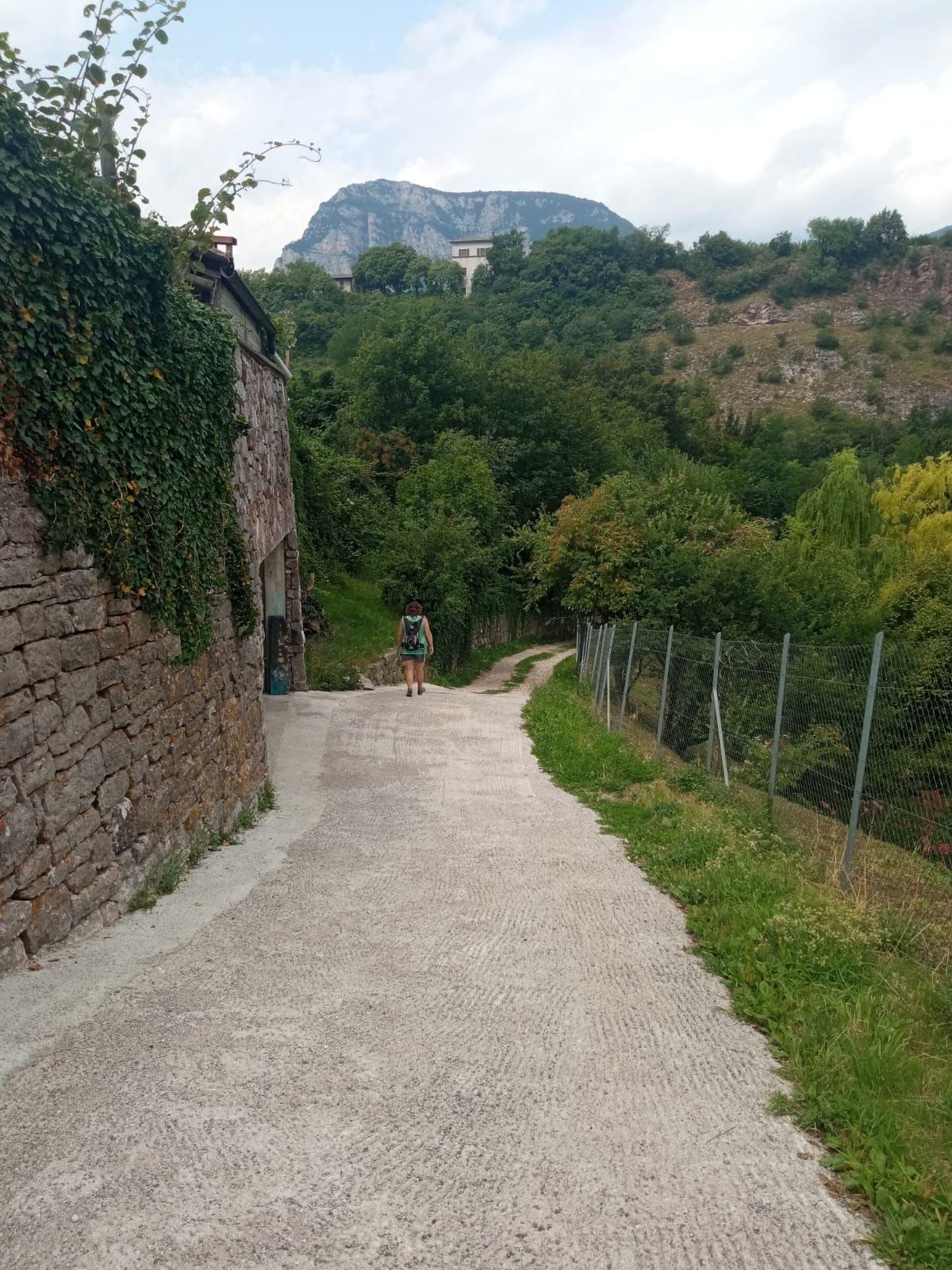
From the center of the village of Vezzano, behind the Church, the path to Lagolo begins. This is the stage with the largest elevation gain leading to Lake Lagolo. The third stage is the most "mountainous" among those of the Seven Lakes Walk, as its first half winds along the western slope of Mount Bondone, facing a significant elevation change, first uphill and then downhill. The ascent from the village of Vezzano, along a trail immersed in extensive coniferous and broadleaf forests, allows you to reach Lake Lagolo, an enchanting small lake situated at an altitude of 930 meters. From the lake, the subsequent descent leads to Madruzzo, a tiny village nestled at the foot of the cliff on which the ancient castle of the same name stands. The second section of the stage progresses with modest elevation changes in the Cavedine Valley, partly along the roads traversing the countryside and partly through the sparse woods crossed by the so-called "Roman road." You reach the village of Cavedine on an easy route rich in points of interest, both for its natural components and its historical-cultural aspects, before continuing to the village of Brusino and reaching Sant'Udalrico di Vigo Cavedine, which concludes the stage.
IT EN DE
Vom Zentrum des Dorfes Vezzano, hinter der Kirche, beginnt der Weg nach Lagolo. Die Etappe mit dem größten Höhenunterschied bis zum Lago di Lagolo.
Die dritte Etappe ist die “bergigste” unter den Etappen des Cammino dei Sette Laghi, da sie in der ersten Hälfte am westlichen Hang des M. Bondone verläuft und einen signifikanten Höhenunterschied bewältigt, zunächst bergauf und dann bergab. Der Aufstieg vom Dorf Vezzano entlang eines Pfades, der durch ausgedehnte Nadel- und Laubwälder führt, ermöglicht den Zugang zum Lago di Lagolo, einem bezaubernden kleinen See auf 930 Metern Höhe. Vom See führt der anschließende Abstieg nach Madruzzo, einem winzigen Dorf am Fuß des Felsens, auf dem das gleichnamige alte Schloss thront. Der zweite Abschnitt der Etappe verläuft mit moderaten Höhenunterschieden im Valle di Cavedine, teilweise entlang der Straßen, die die Felder durchziehen, und teilweise zwischen den lichtungen Wäldern, die von der sogenannten “römischen Straße” durchquert werden. Man erreicht das Dorf Cavedine, ein einfacher Weg, reich an interessanten Elementen, sowohl von naturkundlicher als auch von historisch-kultureller Bedeutung, bevor man im Dorf Brusino weitergeht und Sant’Udalrico di Vigo Cavedine erreicht, das die Etappe abschließt.
